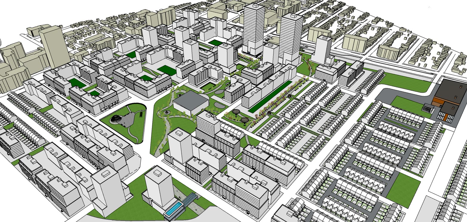
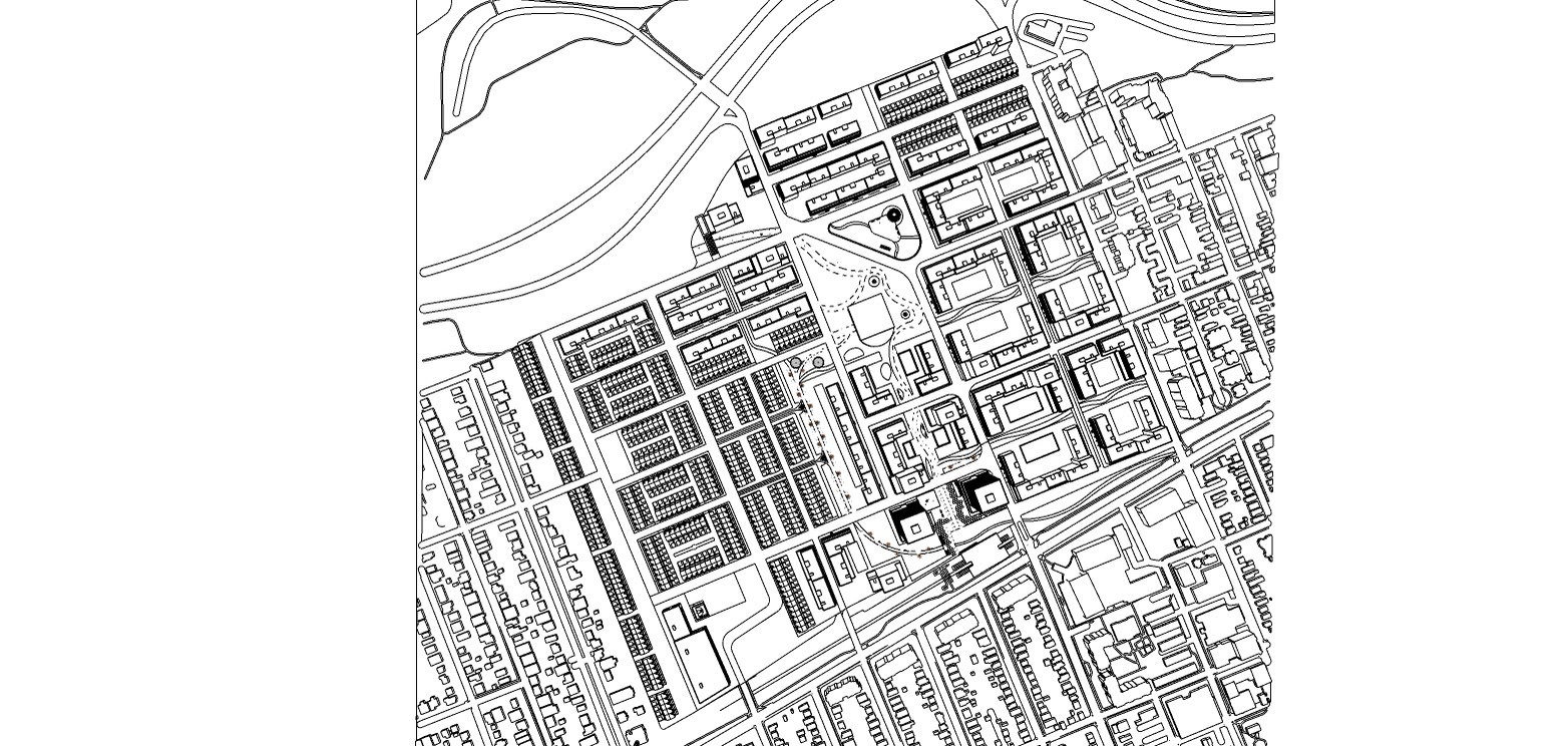
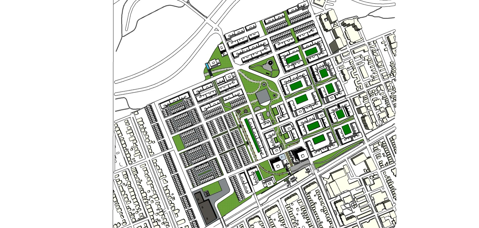
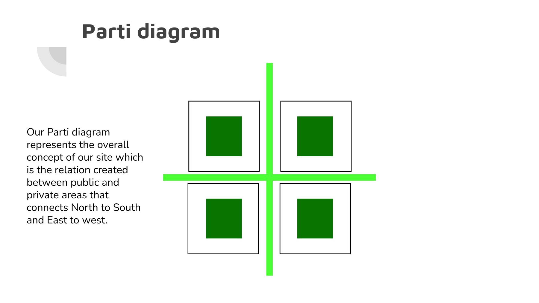
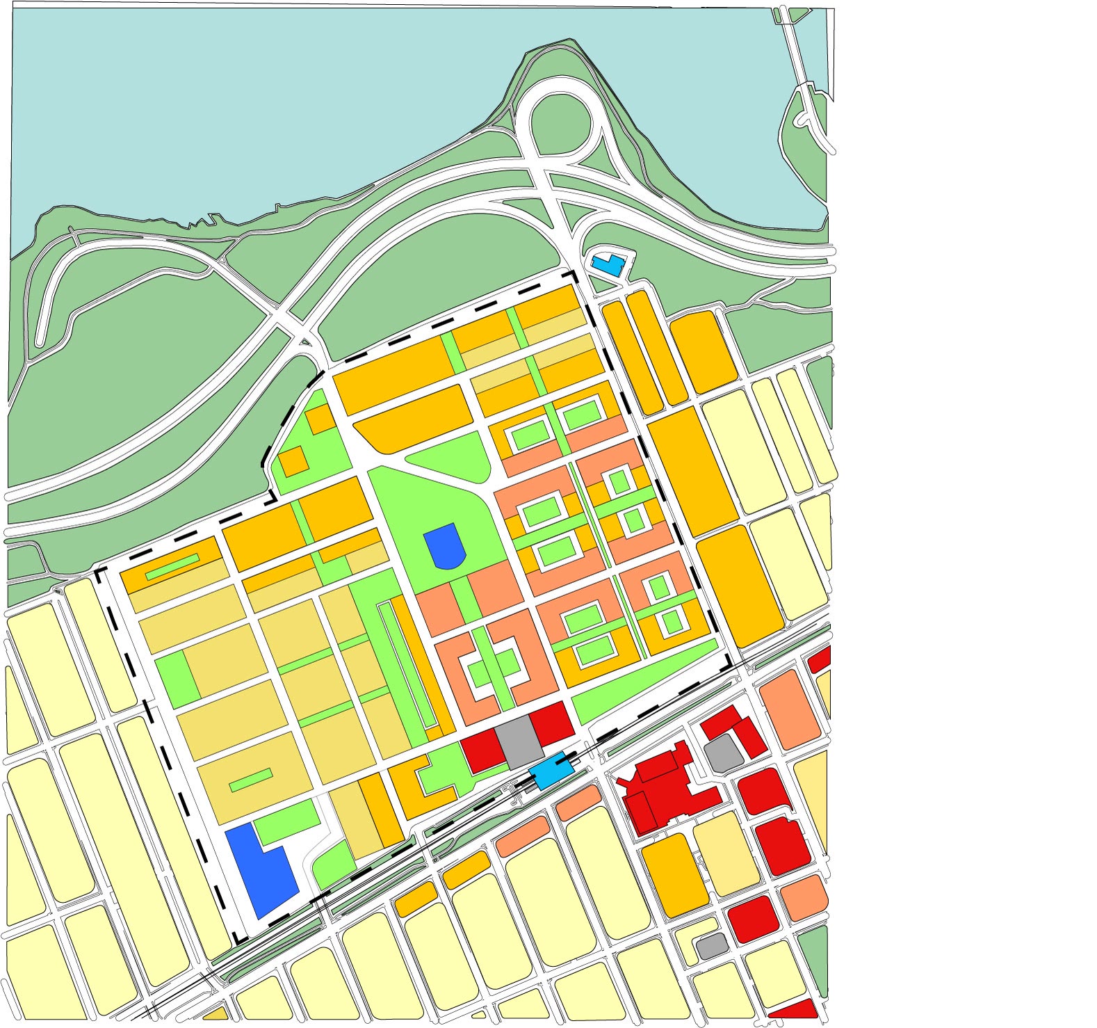
A placemaking proposal for a site at Tunney's Pasture, organised around the relationship between public and private ground on both axes, and built up as four drawn layers.
Project type
Urban placemaking proposal
Location
Tunney's Pasture, Ottawa, Ontario
Status
Academic
Area
Site study
Role
Sole author
The site sits at Tunney’s Pasture, and the proposal is called River’s View. The parti is a single relationship: how public ground meets private ground, and how that meeting can be made to connect the site north to south and east to west at the same time rather than choosing one axis.
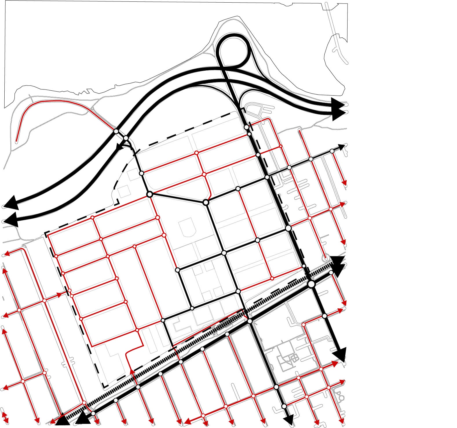
The proposal is built as four layers, each drawn on the same plan. The parti sets the relationship, land use assigns it, the parks layer tests whether the public ground actually adds up to something, and circulation is where it all gets checked. A parti that only works on paper falls apart as soon as you draw the routes people would take across it, so the block pattern was redrawn more than once to keep both axes working.
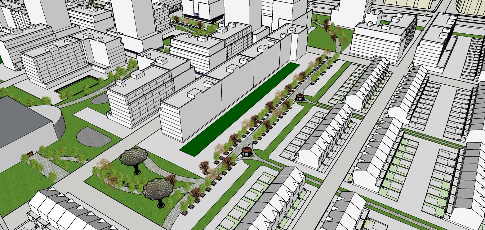
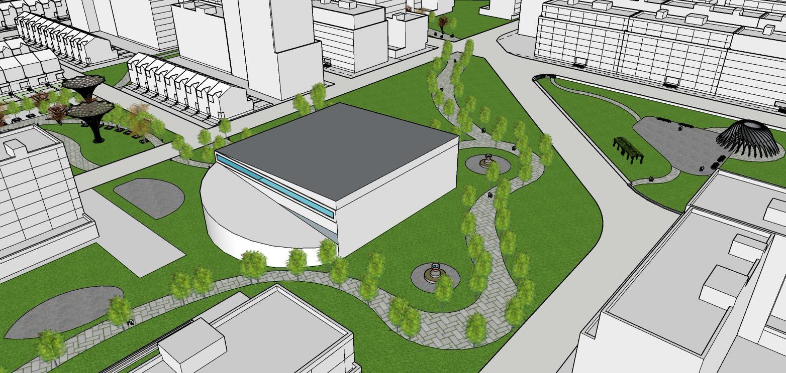
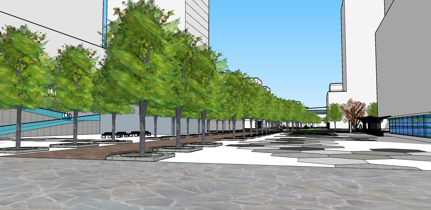
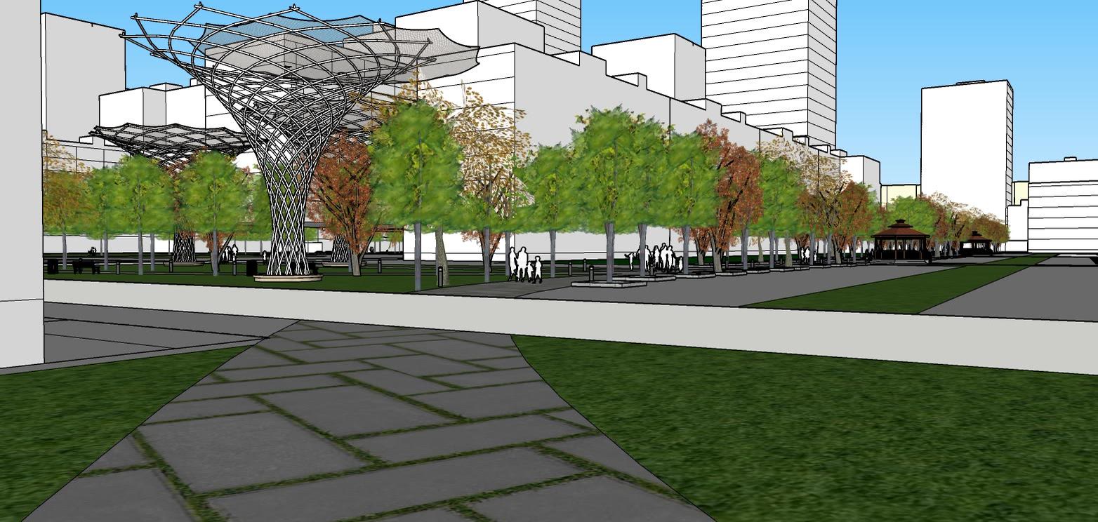
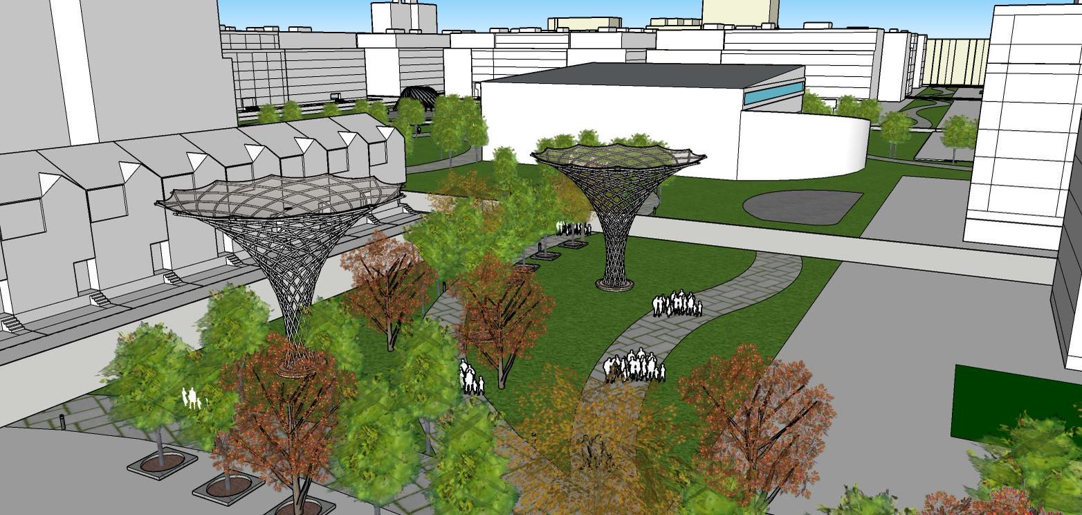
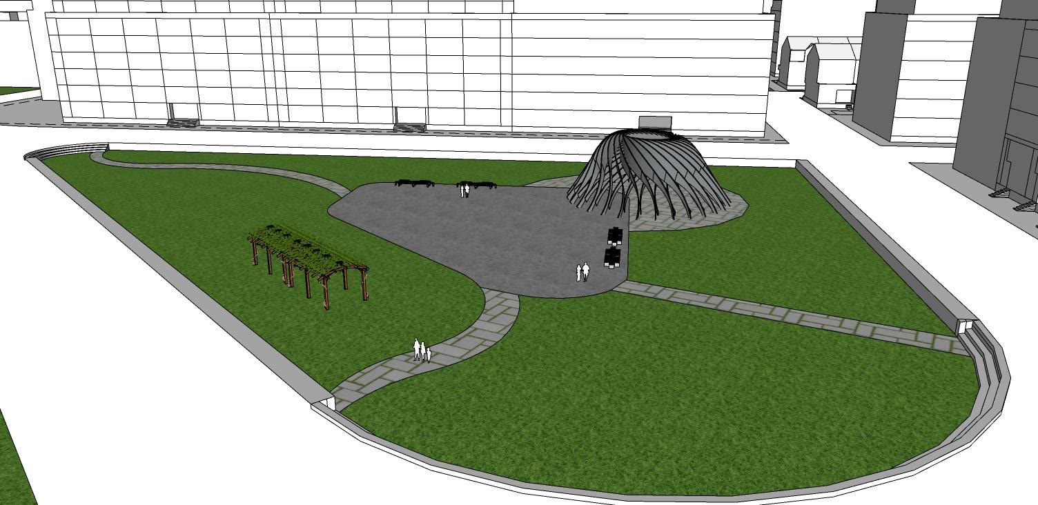
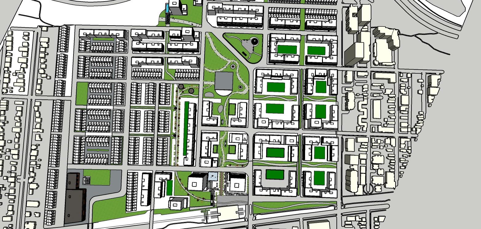
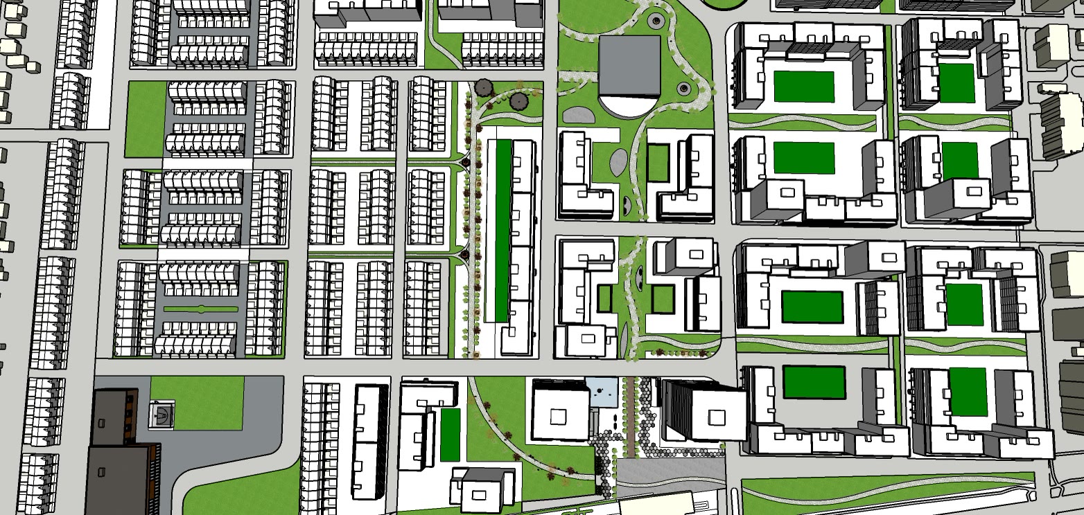
What holds the long central route together is the oval path and the canopy structures along it. A green strip that length is otherwise just a gap between buildings, and people cut across it rather than walk it. The canopies give the route a rhythm and a reason, and the pavilion, the water basin and the community building are placed along it as things to walk toward.
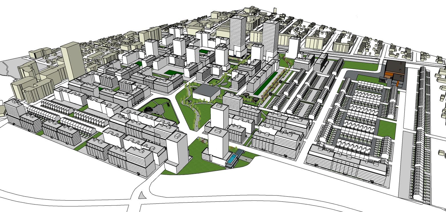
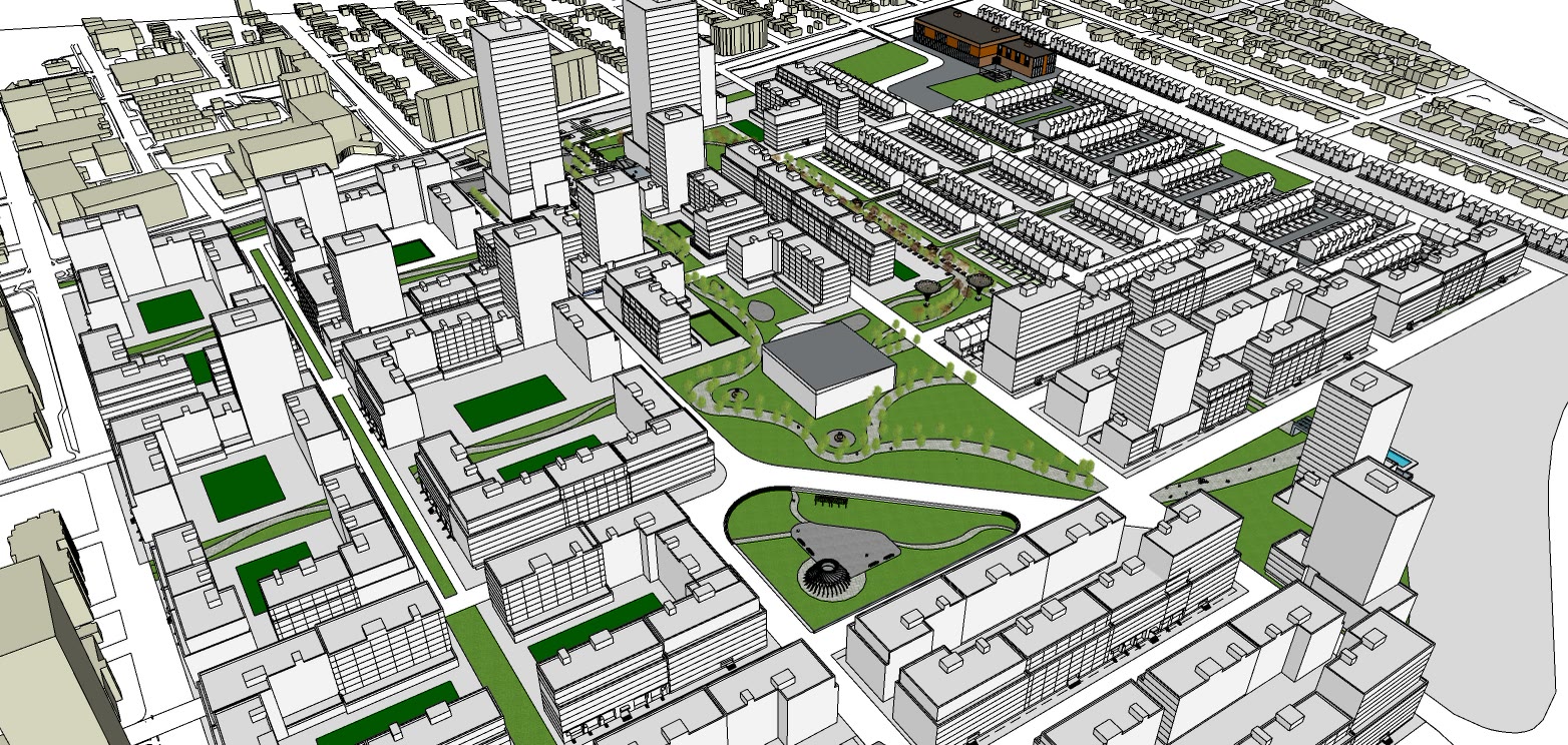
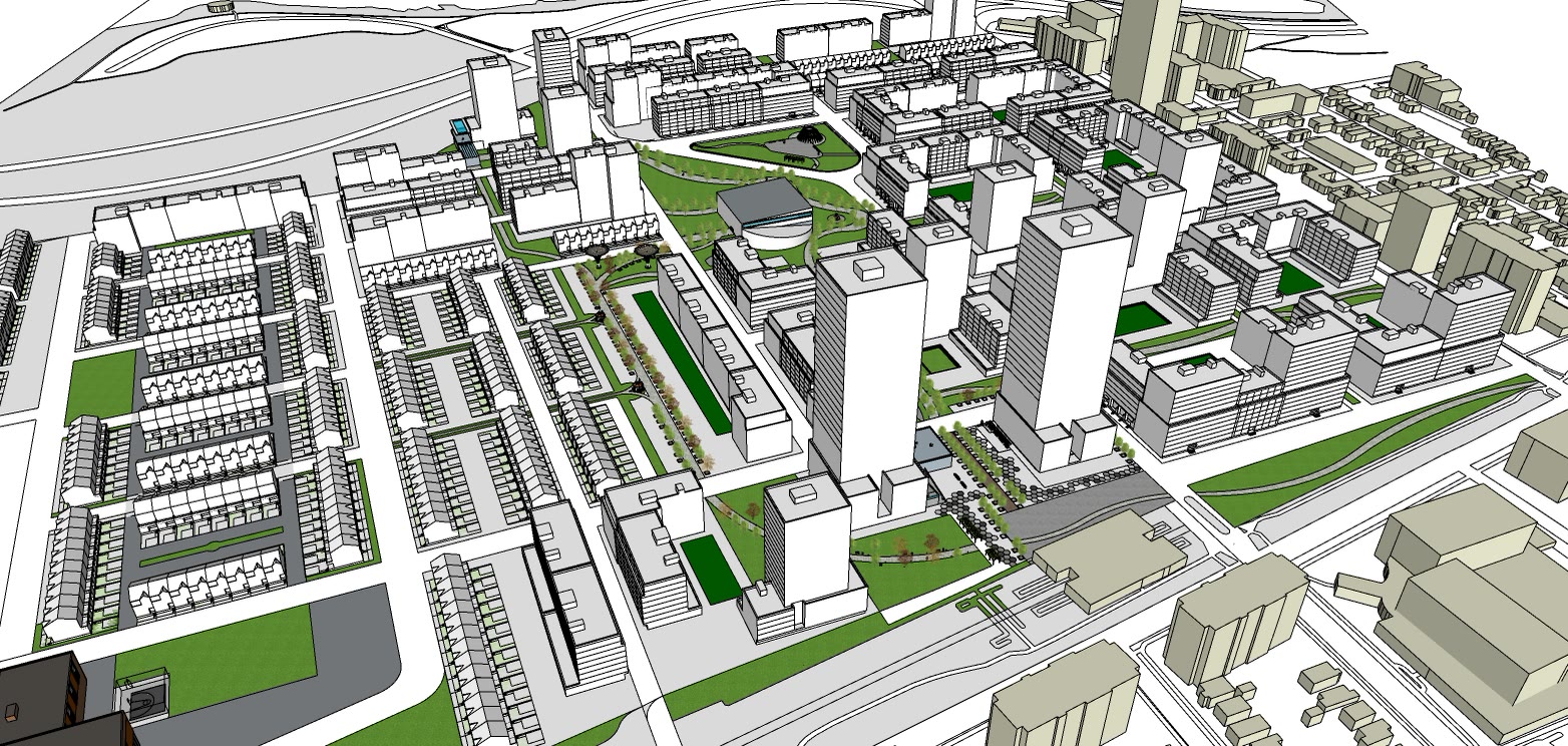
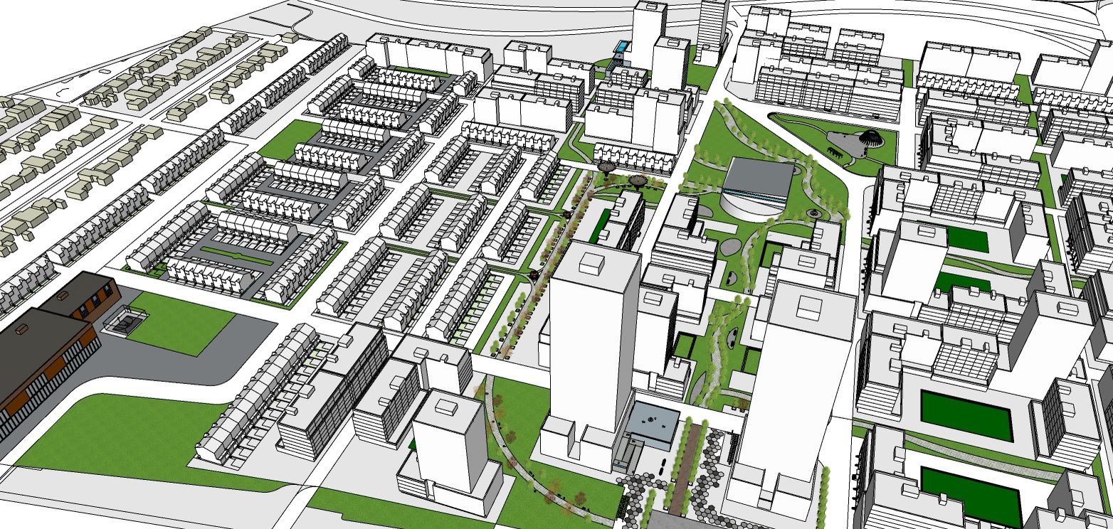
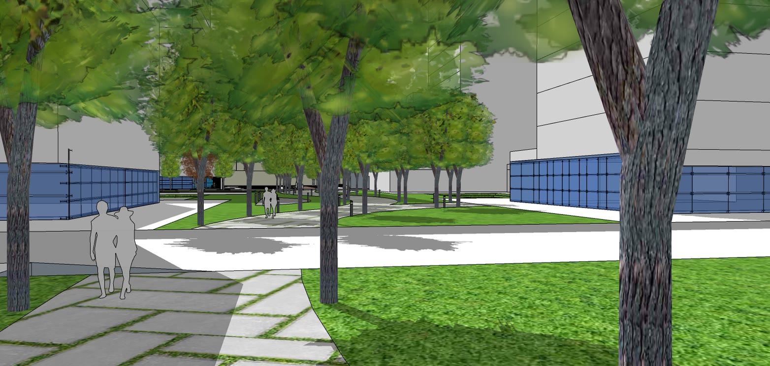
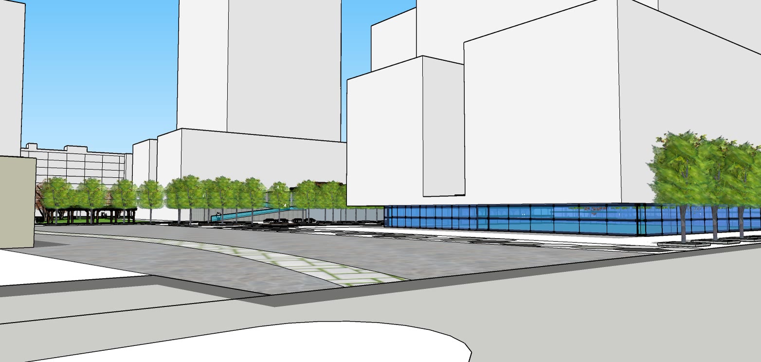
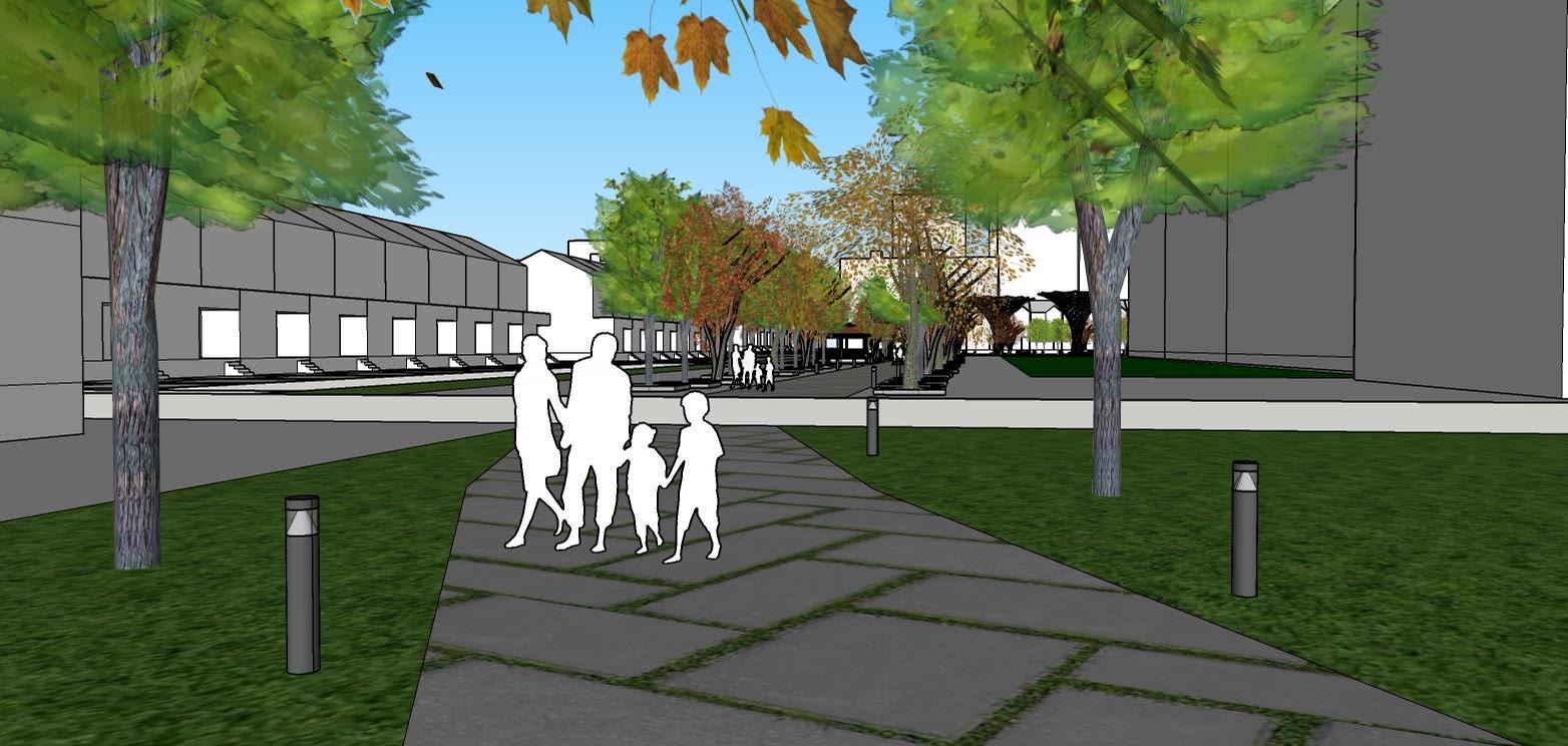
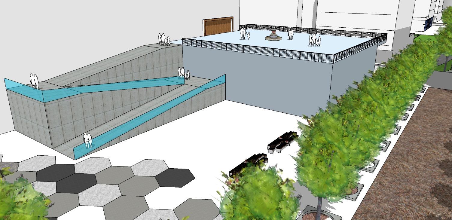
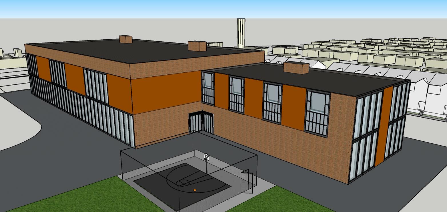
The district as a whole. The blocks are massing; the ground between them is the project.The district as a whole. The blocks are massing; the ground between them is the project.Two more angles on the massing, because a scheme this long reads differently from each end.Two more angles on the massing, because a scheme this long reads differently from each end.The oval path, which is the device that makes the central green a route rather than a gap.The oval path, which is the device that makes the central green a route rather than a gap.At eye level, taken from the three positions marked on the key plan below.At eye level, taken from the three positions marked on the key plan below.At eye level, taken from the three positions marked on the key plan below.The canopy structures and the set pieces placed along the route.The canopy structures and the set pieces placed along the route.The canopy structures and the set pieces placed along the route.Things to walk toward. A route this long needs destinations along it, not just at the ends.Things to walk toward. A route this long needs destinations along it, not just at the ends.Things to walk toward. A route this long needs destinations along it, not just at the ends.
Drawings
Ground planGround plan, colouredLayer 1, partiLayer 2, land useLayer 3, parksLayer 4, circulationView keyView key, second sheet