Ahmad Assi
English

Universitaire  /  2023

Market District

A revitalisation strategy for Site 3 of Confederation Heights, built around connectivity, intensity zoning at the intersections, and an open space district at the core.
Type de projet
District revitalisation strategy
Lieu
Confederation Heights, Ottawa, Ontario
Statut
Universitaire
Superficie
Targeted density 150 people per hectare
Rôle
Sole author, ARCS 2304 Assignment 3
Street level view of the district with mid-rise blocks along the route, the light rail passing and the water tower landmark beyond
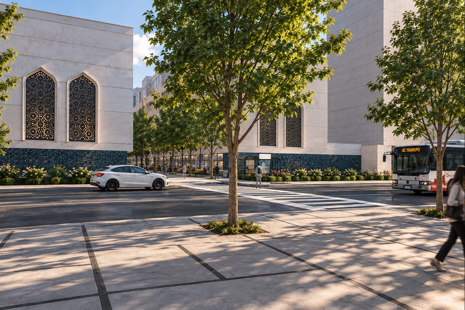
Street-level view of the proposed commercial corridor, featuring contemporary façades with traditional geometric patterns inspired by the diverse ethnic communities that have shaped the area's cultural identity.

Market District is a proposed mixed-use redevelopment of Site 3 in Ottawa’s Confederation Heights. Developed as part of a collaborative masterplanning project to revitalize the broader area, each team member was responsible for an individual site. Site 3 was my focus, envisioned as the commercial and cultural hub of the overall development, giving Market District its name. The work presented here focuses exclusively on my individual site design.

The masterplan prioritizes integration with the existing urban fabric through interconnected roads, pedestrian pathways, and bridges that strengthen connections to surrounding neighbourhoods. A key design consideration was responding to the area’s existing communities and stakeholders. Student housing along the southern edge complements The Revalie on Brookfield Road, while Middle Eastern-inspired commercial streetscapes reflect the area’s established cultural identity. This influence is rooted in the surrounding Lebanese and Middle Eastern presence, evident in nearby streets named Lebanon and Khalil Gibran, after the Lebanese poet, as well as local businesses, a Lebanese Orthodox church, mosques, and community centres.

Targeting a density of approximately 150 people per hectare, the proposal concentrates mid-rise developments along the site’s edges, particularly near major intersections where greater urban intensity can be accommodated. Building heights gradually step down toward the centre, transitioning into a more intimate pedestrian environment with cultural commercial markets at grade. This arrangement leaves the heart of the district open for a central park, combining communal green spaces, gathering areas, food stands, and market booths that encourage people to gather, explore, and engage rather than simply pass through.

The existing O-Train station at the northeastern edge further enhances accessibility, connecting the district to Carleton University just one stop away. Together, these strategies establish a pedestrian-oriented, mixed-use environment that accommodates local residents, students, universities, businesses, and cultural communities while strengthening the district’s relationship with its surroundings.
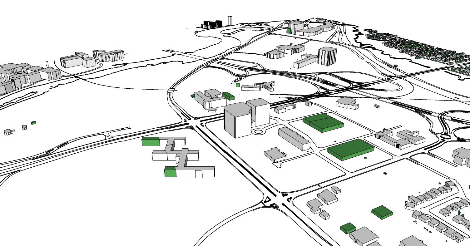
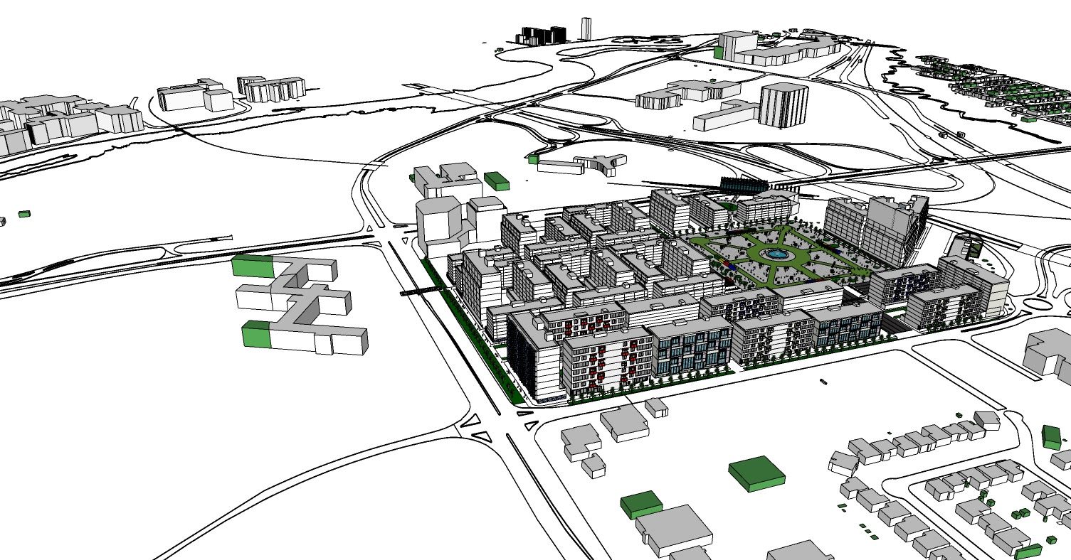
The existing condition in context, a scatter of large single buildings surrounded by roads and open ground
Existing site axonometric illustrating the underutilized land, dispersed government building footprints, and fragmented urban structure of Confederation Heights before redevelopment.
The same view with the proposal in place, the blocks completing the street edges and the open space held at the centre
Proposed site axonometric illustrating the transformation of underutilized land into a connected mixed-use district organized around a more cohesive urban fabric.
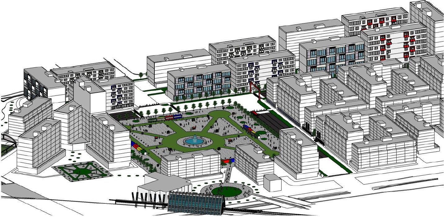
Axonometric of the central square with its fountain, radiating paths and market stalls, ringed by mid-rise blocks with the train station in the foreground
South-facing bird's-eye view illustrating the relationship between the O-Train station, central public park, and surrounding mixed-use buildings.
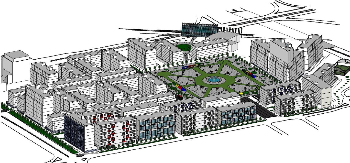
Wider axonometric of the whole site showing the transition from high rise at the periphery to mid-rise around the square
North-facing bird's-eye view emphasizing the student housing buildings that frame the central park and establish an active residential edge along the district.
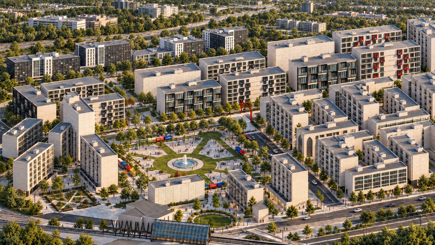
Axonometric of the district with the blocks in white massing, the planted courtyards between them and the open space at the centre
Aerial rendering of the proposed Market District, where mid-rise developments define the site's perimeter while building heights transition toward the open central park.
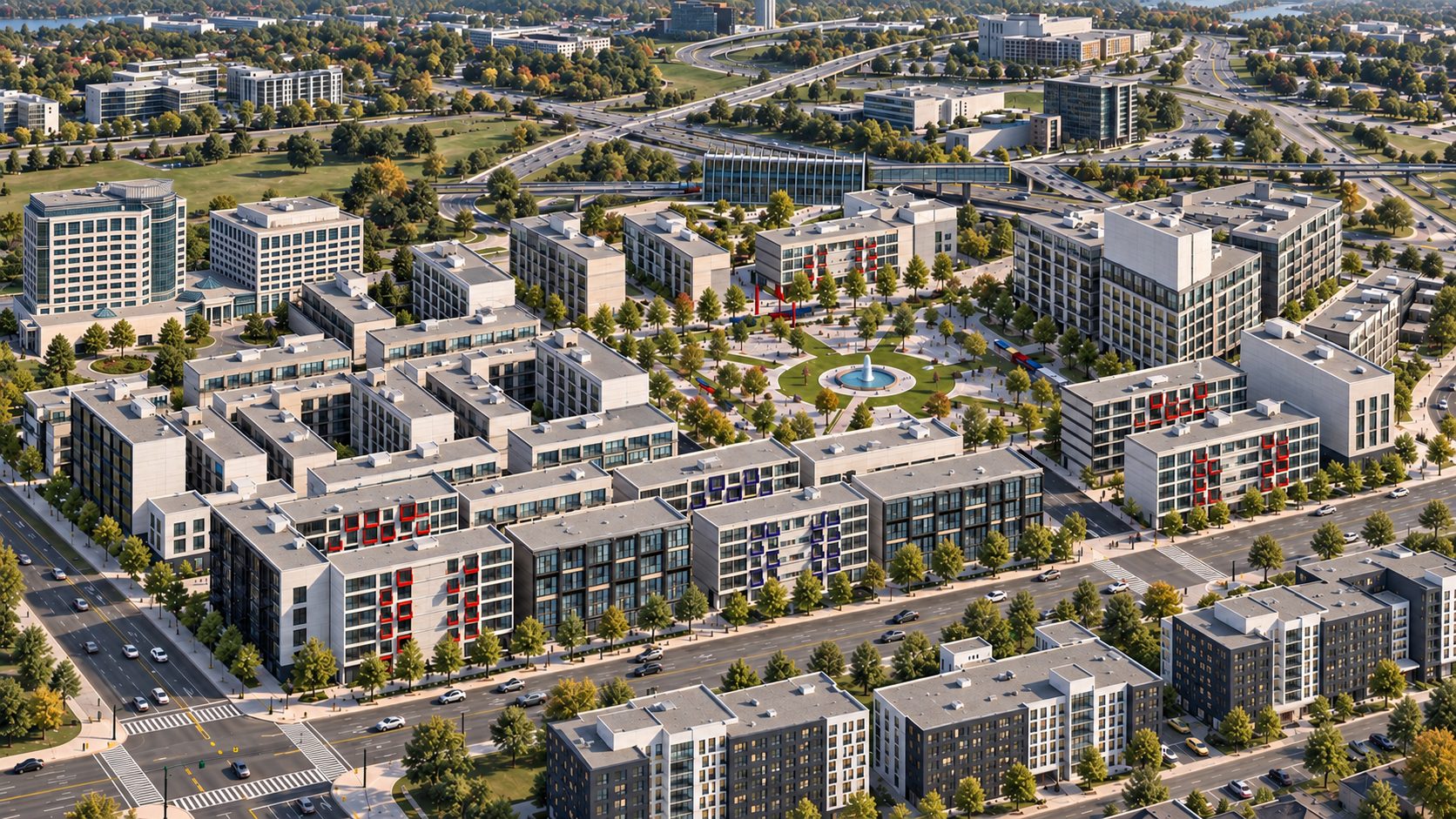
The district from the opposite corner, the mid-rise heart and the market frontages reading against the taller perimeter
An overview of the proposed district highlighting the relationship between student residences, surrounding street networks, and the central park as a shared community destination.
Street level view of the district with mid-rise blocks along the route, the light rail passing and the water tower landmark beyond
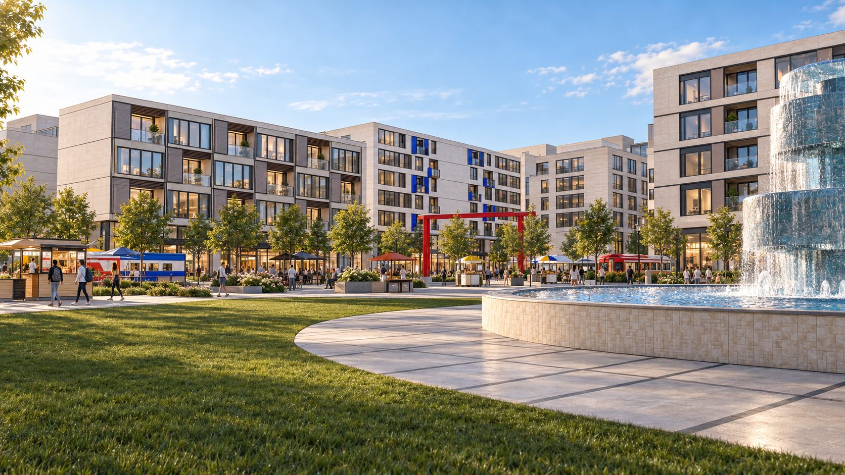
The central park serves as the district's primary public space, combining landscaped green areas, a prominent water feature, and nearby commercial activity to encourage social interaction.
Dwelling 2
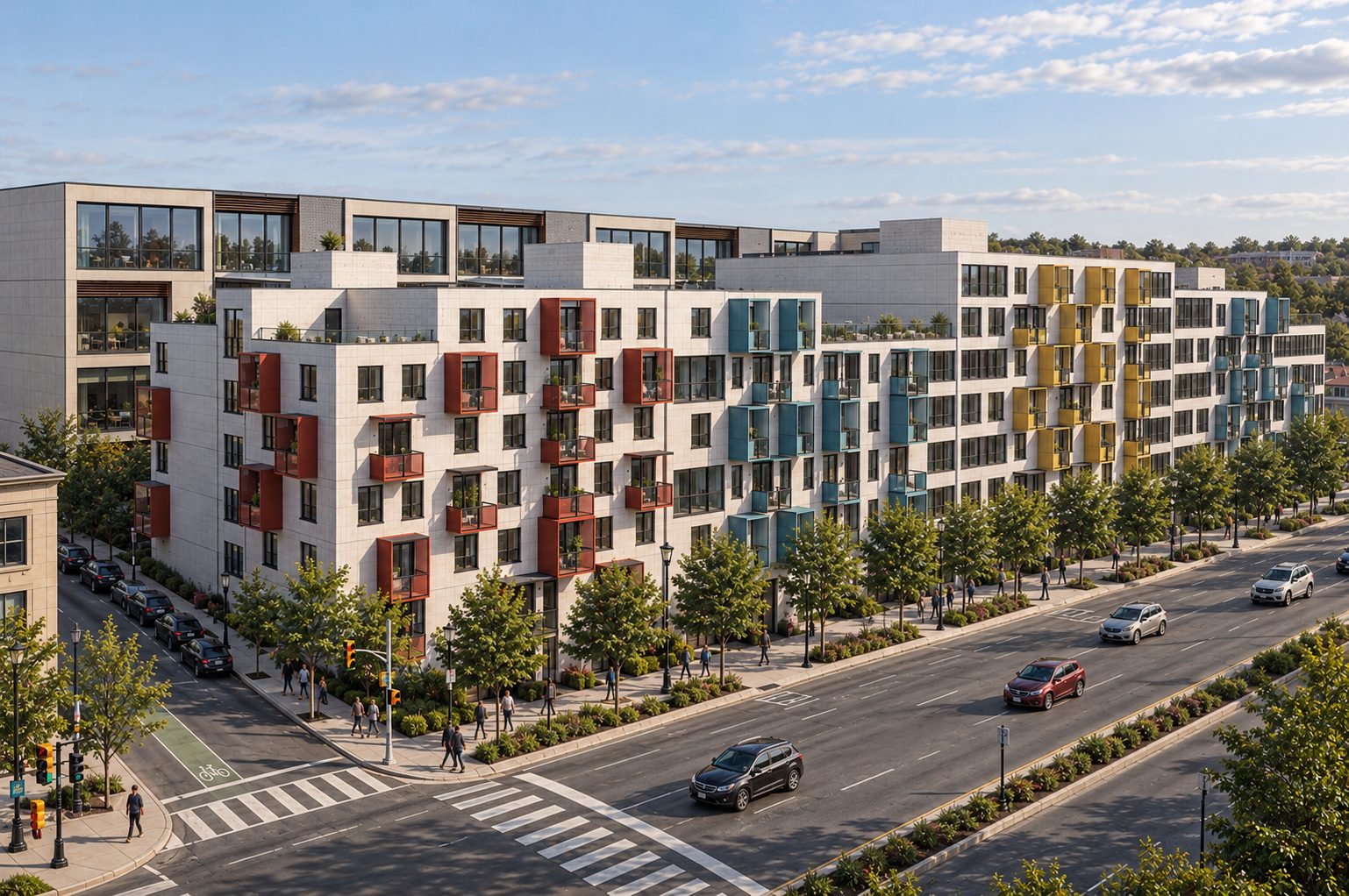
Proposed student housing along the district's street frontage, featuring colourful projecting balconies, contemporary façades, and a pedestrian-oriented streetscape that complements the existing student housing at The Revalie across the road.
Dwelling 3
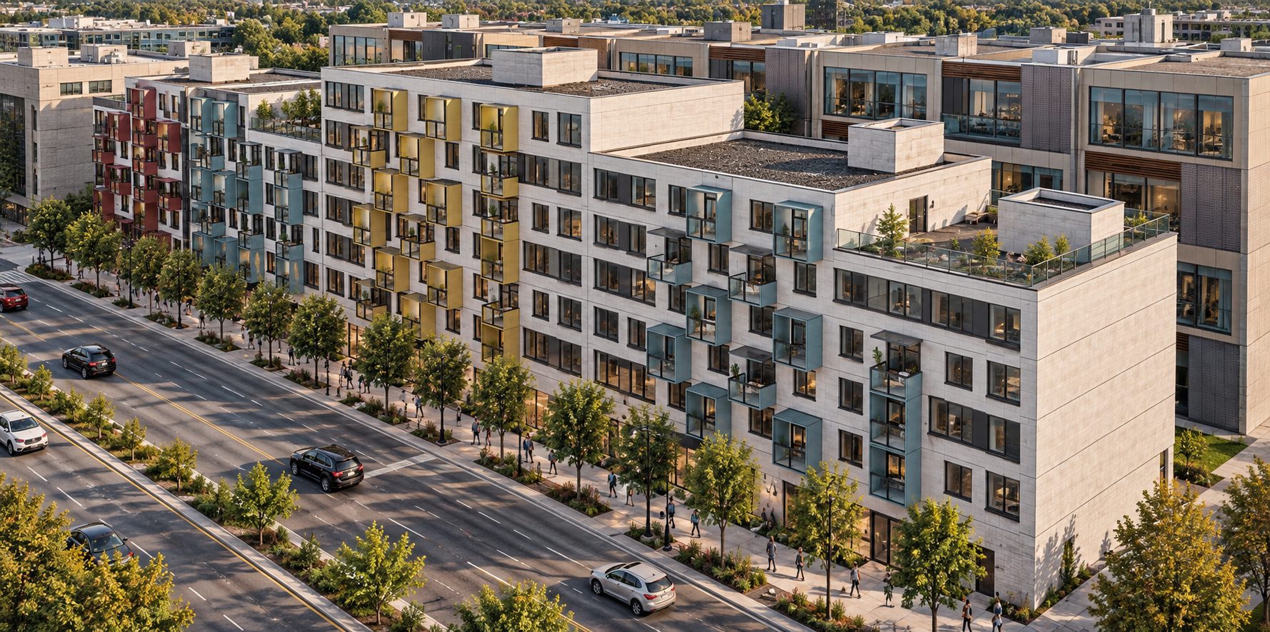
The student housing development introduces a contemporary residential edge, where projecting balconies and varied façade treatments bring depth and visual interest to the streetscape.
Train
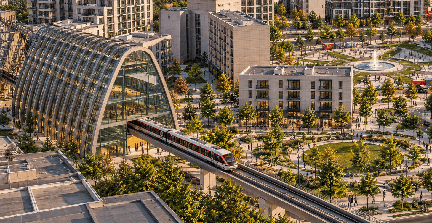
The transit station establishes a key connection between Market District and Ottawa's O-Train network, with its curved glass structure positioned alongside landscaped pedestrian routes and public gathering spaces.
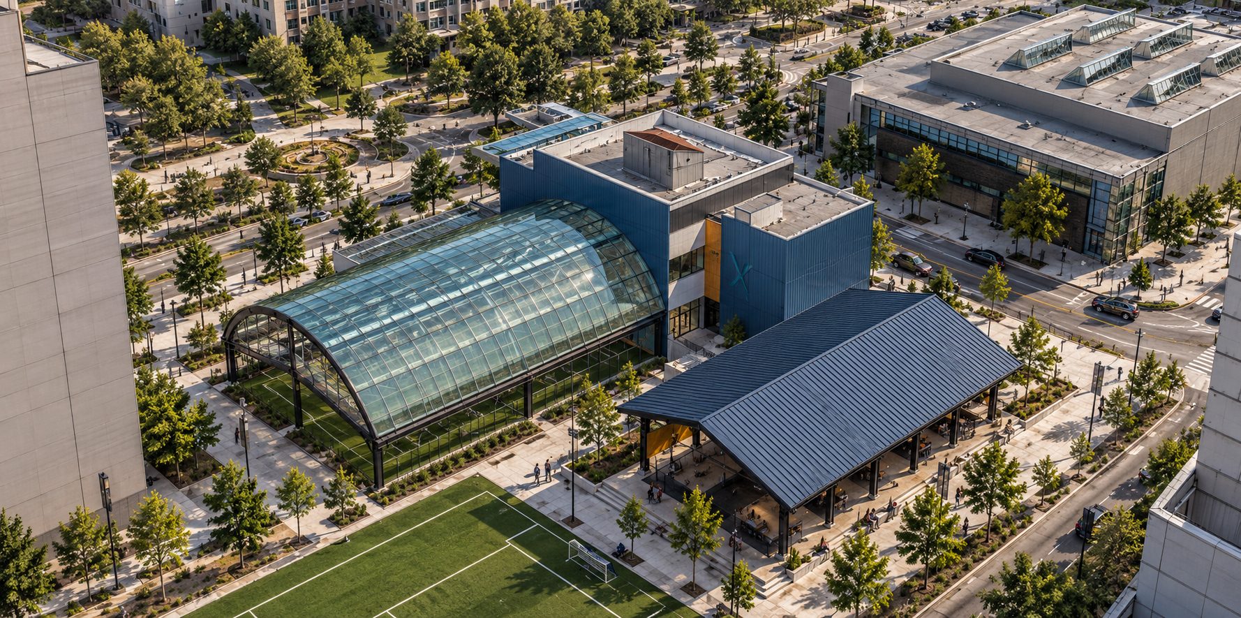
Recreation Plaza
The recreation plaza combines indoor and outdoor recreational facilities with a network of landscaped public spaces, creating an active destination within the Market District.

Dessins

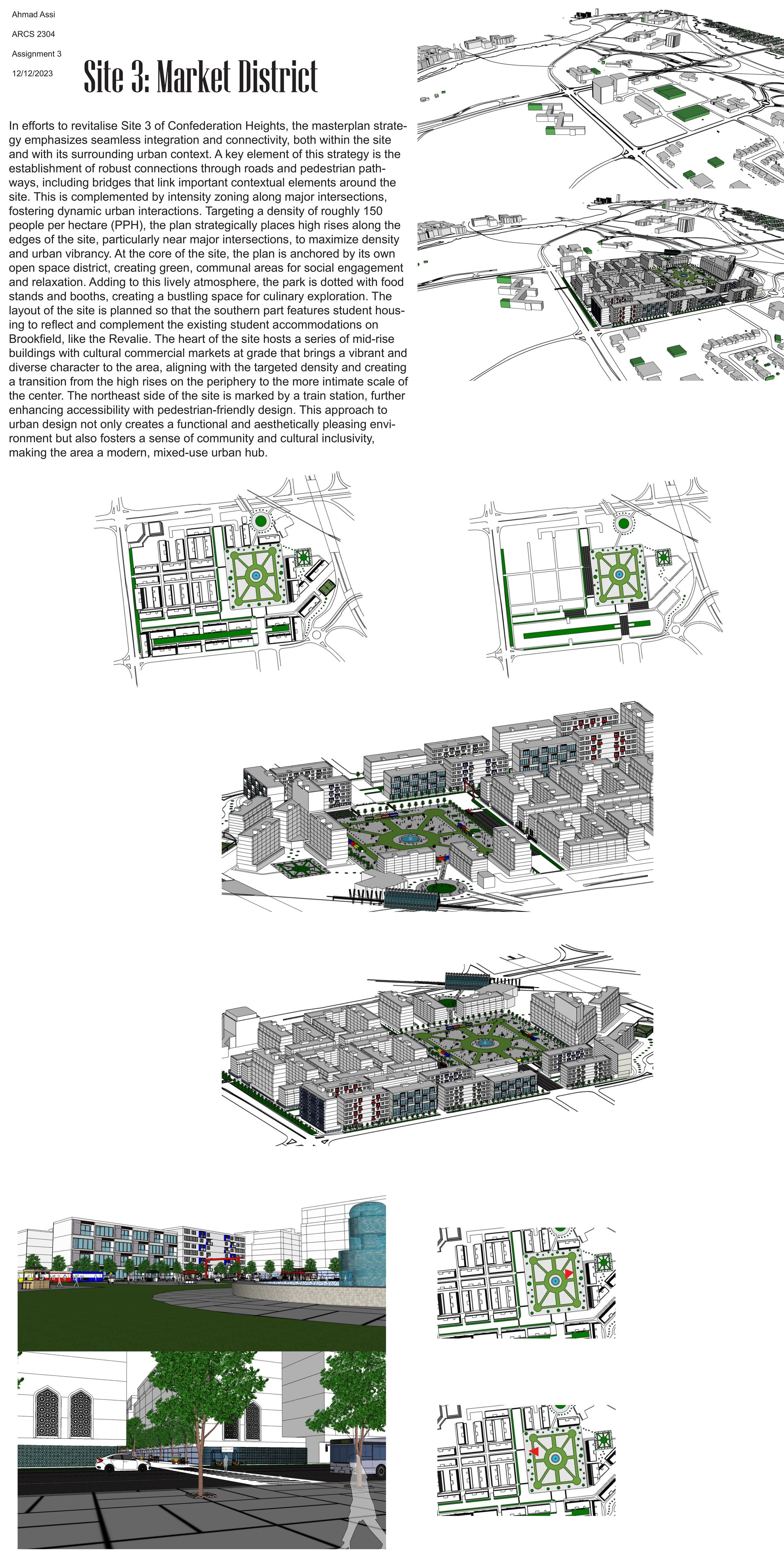
The full Site 3 Market District sheet, carrying the written strategy, the context axonometrics, the before and after comparison and the street level views
Site 3, Market District, full sheet